Buscar por Materia Teledetección
Mostrando resultados 1 a 4 de 4
| Vista previa | Fecha de publicación | Título | Autor(es) |
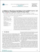
 | 2019-12 | A method for mosaicking aerial images based on flight trajectory and the calculation of symmetric transfer error per inlier | Arteaga Meléndez, Daniel; Kemper Vásquez, Guillermo; Huaman Bustamante, Samuel G.; Telles Castillo, Joel; Bendayán Acosta, León; Sanjurjo Vílchez, José |
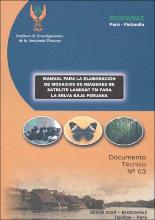
 | 2004 | Manual para la elaboración de mosaicos de imágenes de satélite Landsat TM para la selva baja peruana | Sanjurjo Vílchez, José; Kalliola, Risto |
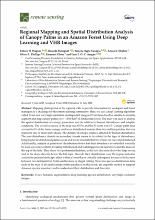
 | 2020-07 | Regional mapping and spatial distribution analysis of canopy palms in an amazon forest using deep learning and VHR images | Wagner, Fabien H.; Dalagnol, Ricardo; Tagle Casapía, Ximena; Streher, Annia S.; Phillips, Oliver L.; Gloor, Emanuel; Aragão, Luiz E. O. C. |
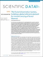
 | 2019-10 | The Forest Observation System, building a global reference dataset for remote sensing of forest biomass | Schepaschenko, Dmitry; Chave, Jérôme; Phillips, Oliver L.; Lewis, Simon L.; Davies, Stuart; Réjou-Méchain, Maxime; Sist, Plinio; Scipal, Klaus; Perger, Christoph; Herault, Bruno; Labrière, Nicolas; Hofansl, Florian; Affum-Bafoe, Koffi; Aleinikov, Alexei; Alonso, Alfonso; Amani, Christian; Araujo Murakami, Alejandro; Armston, John; Arroyo, Luzmila; Ascarrunz, Nataly; Azevedo, Celso; Baker, Timothy R.; Bałazy, Radomir; Bedeau, Caroline; Berry, Nicholas; Bilous, Andrii M.; Bilous, SvitlanaYu.; Bissiengou, Pulchérie; Blanc, Lilian; Bobkova, Kapitolina S.; Braslavskaya, Tatyana; Brienen, Roel; Burslem, David F. R. P.; Condit, Richard; Cuni-Sanchez, Aida; Danilina, Dilshad; Del Castillo Torres, Dennis; Derroire, Géraldine; Descroix, Laurent; Dof Sotta, Eleneide; D’Oliveira, MarcusV. N.; Dresel, Christopher; Erwin, Terry; Evdokimenko, Mikhail D.; Falck, Jan; Feldpausch, Ted R.; Honorio Coronado, Eurídice |